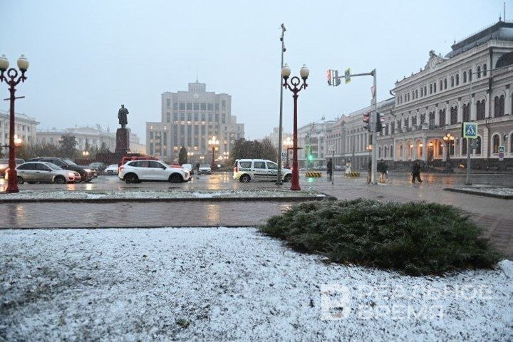
‘No snow by 5 December was last seen in 2008 and 2009. And before that, in 1996’
What kind of weather awaits Tatarstan residents in December and if they should be afraid of global warming

Anomalously warm weather has been observed in Tatarstan for six months in a row, since June. It will continue in December, meteorologists predict. It is still impossible to say exactly when snowdrifts will appear on the streets of the republic. Normally, a stable snow cover should have been established in the second ten days of November. But Tatarstan residents have hope for a winter landscape by the New Year. Read more about it in a report of Realnoe Vremya.
“December will be above the average”
In November, temperatures in Tatarstan were significantly higher than normal. This trend will continue in December, meteorologist and PhD for Geographical Sciences Timur Aukhadeyev told Realnoe Vremya. November “was not just abnormally but extremely warm,” he emphasised. The average temperature this month was +0.2 degrees, while the norm is -2.5. The heat anomaly has been in the republic for six months in a row, since June.
“It will most likely continue into December. The fact is that long-term forecasts are created by the world's leading weather centres. Surprisingly, this year all world centres, all forecasting models unanimously agree that December will be warmer than normal. Thus, a series of six abnormally warm months will continue,” said Timur Aukhadeyev.

In November, 37mm of precipitation fell in the republic, while the climatic norm is 45mm. But stable snow cover has not been established, although normally this should have happened in the second ten-day period of the month. Now, it would seem, there are conditions for snow to fall, but there is no precipitation, the expert states. A year ago on this day, the snow cover was 19cm.
“The last time there was no snow by 5 December was in 2008 and 2009. And before that, in 1996,” the meteorologist added.
The meteorologist about whether snow will fall by New Year’s eve: “There is some magic here”
According to Irina Truschina, head of the meteorological forecasting department of the Weather Centre of the Republic of Tatarstan, the average temperature in December is expected to be -7.9 degrees: one degree above the average. The amount of precipitation will be close to the average — 37mm.
“The weather is still unstable, with fluctuations in warm and cold periods. The front that arrived last night was very little expressed in precipitation. In the next two days, Friday and Saturday, they will form under the influence of an anticyclone, precipitation is not expected at all,” she stated.

On Sunday, an atmospheric front from the West was going to approach the republic.
“Perhaps our western regions will be caught by it and light snow will fall,” said Irina Truschina. “In the coming days, at the beginning of next week, cyclonic processes will be observed, sometimes with snow. But it will be temporary or permanent, it is difficult to judge.
However, the residents of the republic still have hope for a miracle.
“There is some magic here, probably. It is surprising that in recent years, as a rule, on this day (Editor’s note: 31 December) it snows. If this year everything is the same, a winter landscape awaits us,” Timur Aukhadeyev expressed his hope.
The norther the territory, the more pronounced warming is
He added that this year Tatarstan has seen its fifth consecutive abnormally warm November.

“Сlimate [around the world] is warming, but not equally everywhere. The further north the territory, the more pronounced it is on it. Our climate is warming on average by half a degree per decade, and this rate is 2.5 times higher than the global one,” the meteorologist explained.
As Aukhadeyev explained, 2024 will be among the warmest years in history. The culprit was a climate phenomenon called El Niño. Its phenomenon consists of an increase in water temperature over large areas of the Pacific Ocean, which leads to the release of a large amount of heat into the atmosphere. Now it will be replaced by another phenomenon — La Niña. “The response will be in most areas of the globe, but what it will be in a specific region needs to be looked at in detail,” the expert concluded.